|
PREVIOUS
|
PLANET MAPS
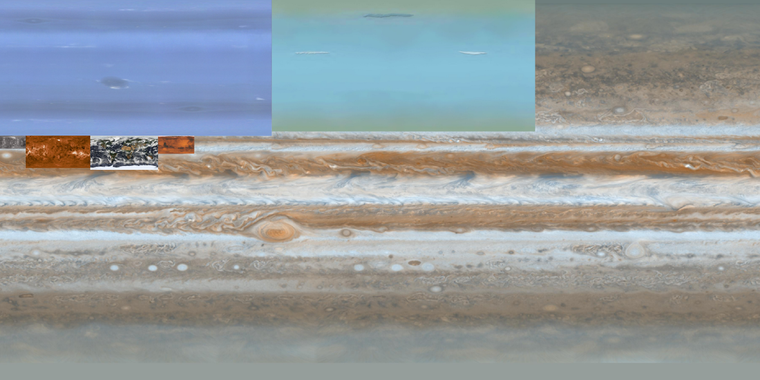
I recently realized that there are high quality maps of all the planets on the internet. There are no Pluto maps because Pluto isn't a planet anymore. I am coming to terms with this fact. Because of how awesome these images are, I sought to find some fun image processing I could pull off with them. I started by simply superimposing all planet maps over each other, and scaling them according to the size of their radius. It brought me back to grade school science class. I think the image can be misleading because 2D maps distort spheres. It's neat nonetheless.
I also created "planet circles." In Matlab, I made up weird functions and plotting points along a line according to the function. I then repeating this procedure while rotating the line in a circle. Imagine drawing points along your arm, and then spinning in one circle. The colors of the points in each planet circle are based on the planet maps that I found. The size of the points plotted were randomly chosen by Matlab.


|
PREVIOUS
|